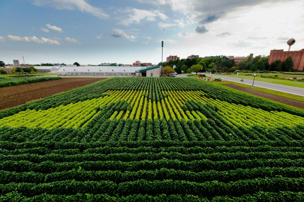
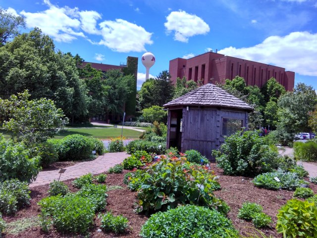
The University of Minnesota is located in Minneapolis, Minnesota. There are three subcampuses: St. Paul, East Bank and West Bank. The St. Paul Campus houses the Colleges of Food, Agriculture, Design, and Natural Resources. The campus also features extensive greenspace in the form of lawns, wooded areas, and flowers and shrubs.The smaller size makes this campus a good option for a Watershed Analysis, while the amount of greenspace provides options for several different types of landscape modifications.
The goal of this project is to analyze rainfall and runoff on the St. Paul Campus at the University of Minnesota. FEMA receives the most requests for aid due to flood damage in Minnesota, therefore it is important to be able to manage and prepare for storms of varying sizes. In this spatial analysis four storm levels will be modeled to support University management in addressing flooding issues that impact campus.
Develop data through in situ field collection, digitization, and the creation of an analysis workflow. This model will be used to calculate storm water volumes for features on campus, such as storm sewers, catch basins, and surface sinks.
Provide a set of modifications to mitigate excess storm water for each storm level. Possible modifications include the addition of canopy, replacing pavement with permeable pavement, rain gardens or surface sinks, altering rooftops, and adding underground storage. All of these modification types and specifications can be seen in further detail in the Modification section.